![[UK map]](/img/locationmap.png)
| OSGB36 trig archive spreadsheet - IW | |||||||||||||
|---|---|---|---|---|---|---|---|---|---|---|---|---|---|
| Trig Name | Original Name | New Name | EASTING | NORTHING | HEIGHT | ORDER | TYPE OF MARK | Computing Date | CLASS OF LEVELLING | Date of Levelling | LEVELLING DATUM | DESTROYED MARK INDICATOR | COMMENTS |
| Bawdsey | TM23/T154 | TM23T154 | 633535.40 | 238512.70 | 0.682 | 3 | PILLAR | 01/06/1960 | 1 | 01/06/1967 | N | 0 |
Nearby trigpoints, placenames
There are 4 photos for this trigpoint (view album).
This trigpoint:
Is ranked joint 20102nd with 35 other trigs (more).
Has a mean score of 3.75/10 (from 8 logged visits)
Was First logged: 18th Jan 2003
Has never been found intact
Was Last logged: 24th Jan 2022
Of the 8 logged visits,
0 recorded a location
You are not logged in. You must login if you wish to log a visit.
Selection of photos for this Pillar.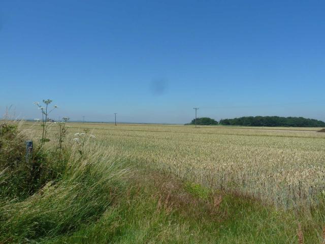 By CJO  By peregrinus  By peregrinus  By peregrinus |
![]() 24th Jan 2022 10:00 by SurveyorCat
24th Jan 2022 10:00 by SurveyorCat
FB Number: Not logged Condition: Destroyed Score: 0/10
I cycled by the adjacent road and no sign of pillar.
![]() 4th Feb 2017 18:34 by Ant1974
4th Feb 2017 18:34 by Ant1974
FB Number: Not logged Condition: Destroyed Score: 5/10
![]() 19th Jul 2016 12:52 by CJO
19th Jul 2016 12:52 by CJO
FB Number: Not logged Condition: Destroyed Score: 2/10
Gone. GR is in wheat field.
![]() 10th Aug 2014 14:00 by Tomaszewski
10th Aug 2014 14:00 by Tomaszewski
FB Number: Not logged Condition: Destroyed Score: 5/10
No sign of the trig walked around ditch edge of field . Bagged an empty space .
![]() 9th May 2009 12:00 by peregrinus
9th May 2009 12:00 by peregrinus
FB Number: Not logged Condition: Destroyed Score: 3/10
Back for photos and a search around. Thought it might have been dumped in the nearby spinneyt but apparently not unless its in the brambles. GPS placed original site 6m into crop, although could have been on slightly raised area on E bank of drain.
![]() ExTrig site looking S Trig would have been mid frame
ExTrig site looking S Trig would have been mid frame![]() ExTrig site looking E GPS is 6m W of site
ExTrig site looking E GPS is 6m W of site![]() ExTrig site looking W GPS is 6m W of site
ExTrig site looking W GPS is 6m W of site
![]() 11th Apr 2007 17:21 by asteroth
11th Apr 2007 17:21 by asteroth
FB Number: Not logged Condition: Destroyed Score: 5/10
Still not a sign of the trig.Shame as it was marked as '0' height on the old Landranger map.This is the birthplace of R.A.D.A.R. which gave us a great advantage over the enemy during W.W.2.
![]() 4th Aug 2005 21:15 by Trigger
4th Aug 2005 21:15 by Trigger
FB Number: Not logged Condition: Destroyed Score: 5/10
![]() 18th Jan 2003 12:00 by peregrinus
18th Jan 2003 12:00 by peregrinus
FB Number: 10739 Condition: Destroyed Score: 5/10
gone: on Streetmap; not on Landline; 33533851 implies S edge of ditch at N edge of ar fld;no trace jan03 (no hedge no hiding place). FB no. 10739 on OS.db - 9/5/09 log updated with historic FB no.
![[map]](/img/trig-map.png.php?t=1090&b=2&l=0&)