![[UK map]](/img/locationmap.png)
| OSGB36 trig archive spreadsheet - IW | |||||||||||||
|---|---|---|---|---|---|---|---|---|---|---|---|---|---|
| Trig Name | Original Name | New Name | EASTING | NORTHING | HEIGHT | ORDER | TYPE OF MARK | Computing Date | CLASS OF LEVELLING | Date of Levelling | LEVELLING DATUM | DESTROYED MARK INDICATOR | COMMENTS |
| West Kenton Farm | NZ29/T128 | NZ29T128 | 420821.26 | 568049.13 | 110.221 | 3 | BLOCK | 01/06/1947 | 1 | 01/06/1962 | N | 0 | Replaced pillar 02/85 |
| West Kenton Farm | NZ29/T128 | NZ29T128 | 420821.26 | 568049.13 | 110.221 | 3 | PILLAR | 01/06/1947 | 1 | 01/06/1962 | N | 1 | Replaced by block 02/85 |
Nearby trigpoints, placenames
There are 8 photos for this trigpoint (view album).
This trigpoint:
Is ranked joint 23444th with 80 other trigs (more).
Has a mean score of 2.77/10 (from 22 logged visits)
Was First logged: 1st Oct 1997
Has never been found intact
Was Last logged: 22nd Jan 2023
Of the 22 logged visits,
2 recorded a location and of these....
All were within 53m
The average error was 26m
1 was exact
You are not logged in. You must login if you wish to log a visit.
Selection of photos for this Pillar. By haighr01  By haighr01 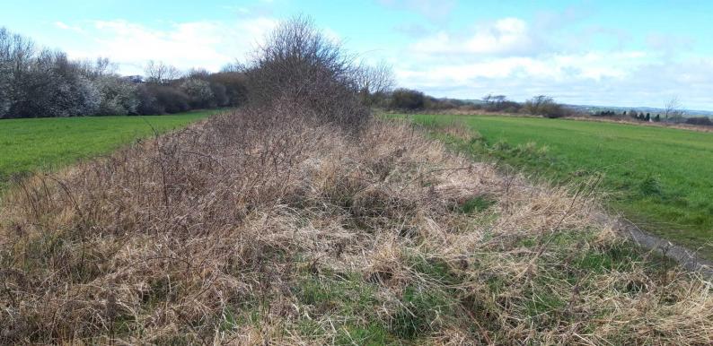 By peregrinus  By ted See 4 more in the album. |
![]() 22nd Jan 2023 10:30 by Mickandkim
22nd Jan 2023 10:30 by Mickandkim
Gridref: NZ 20800 68000 FB Number: S4167 Condition: Destroyed Score: 1/10
Gone
![]() 13th Jul 2021 09:10 by A1Mushroom
13th Jul 2021 09:10 by A1Mushroom
FB Number: Not logged Condition: Destroyed Score: 5/10
Parked in estate and used the footpaths to the non existent trig. I do question my sanity when taking pictures of something that was there once upon a time.
![]() 6th Jul 2021 16:30 by haighr01
6th Jul 2021 16:30 by haighr01
FB Number: Not logged Condition: Destroyed Score: 3/10
Exam over. A soggy day in the north east, so forgive me for picking an easy invisible. Parked at Toby Carvery then over Ponteland Road and the A696 a road which, 30 miles NW I wild camped near recently on the Pennine Way East walk. This is not quite as exciting, but I followed the ROW which leads to an obvious high point where the trig may once have been but is no more. No sign of the Cheviots today due to weather, but Newcastle airport tower and the Sage building were prominent. Pleasant enough surroundings. Can't help but note that Tyne and Wear has a lot of destroyed trigs and this is another.
![]() Could it be? Er no.
Could it be? Er no.![]() Potential Location But another Tyne and Wear pillar is no more
Potential Location But another Tyne and Wear pillar is no more
![]() 9th Apr 2020 12:21 by Geordie
9th Apr 2020 12:21 by Geordie
FB Number: Not logged Condition: Not Logged Score: 5/10
![]() 4th Apr 2020 00:00 by carolje
4th Apr 2020 00:00 by carolje
FB Number: Not logged Condition: Destroyed Score: 5/10
Could see the cheviots, way better than expected
![]() 9th Mar 2019 12:36 by peregrinus
9th Mar 2019 12:36 by peregrinus
FB Number: Not logged Condition: Destroyed Score: 5/10
Empty hedgeline, various unrelated concrete around, OS say Dest 02/85 replaced by block
![]() 3rd Dec 2018 14:30 by PeteBoggs
3rd Dec 2018 14:30 by PeteBoggs
FB Number: Not logged Condition: Destroyed Score: 2/10
Nothing to see
![]() 20th Aug 2018 18:19 by Tonyht
20th Aug 2018 18:19 by Tonyht
FB Number: Not logged Condition: Destroyed Score: 3/10
Fairly easy to locate general position in whichthe pillar once was. Open field but no views.
![]() 15th Jul 2017 16:53 by Ant1974
15th Jul 2017 16:53 by Ant1974
FB Number: Not logged Condition: Destroyed Score: 5/10
![]() 8th Jul 2017 11:09 by ted
8th Jul 2017 11:09 by ted
FB Number: Not logged Condition: Destroyed Score: 0/10
No trig. E end of footpath not easy to find.
![]() West Kenton Farm site
West Kenton Farm site![]() West Kenton Farm site
West Kenton Farm site
![]() 31st Aug 2014 14:55 by dugswell2
31st Aug 2014 14:55 by dugswell2
FB Number: GONE Condition: Destroyed Score: 5/10
Long gone.
![]() 18th Jul 2013 18:25 by Griefmiester
18th Jul 2013 18:25 by Griefmiester
FB Number: Not logged Condition: Destroyed Score: 1/10
Quick drive by - nothing here - logged for completeness and to get off my TomTom.
![]() 9th May 2012 10:00 by CJO
9th May 2012 10:00 by CJO
FB Number: Not logged Condition: Destroyed Score: 5/10
waiting for a delayed plane to arrive. Good view of airport. Old sink on or very close to deceased trig location. Easy parking in gateway at NZ212681 on westbound A696
![]() view along path from A696
view along path from A696 ![]() old sink
old sink
![]() 6th Apr 2012 21:40 by Border Peat
6th Apr 2012 21:40 by Border Peat
Gridref: NZ 20821 68049 FB Number: Not logged Condition: Destroyed Score: 4/10
Quick look as it started raining When for a Toby Carvery Meal
![]() 30th Oct 2008 15:05 by Bergfuehrer
30th Oct 2008 15:05 by Bergfuehrer
FB Number: Not logged Condition: Destroyed Score: 1/10
Northumberland. People still out with their dogs.
![]() 30th Oct 2008 15:05 by Late starter
30th Oct 2008 15:05 by Late starter
FB Number: Not logged Condition: Destroyed Score: 0/10
Had to park in nearby housing estate. Iainmac's photo very useful for locating the missing trig - thanks!
![]() 13th Oct 2008 14:17 by Father Ted
13th Oct 2008 14:17 by Father Ted
FB Number: Not logged Condition: Destroyed Score: 3/10
Not a bad area for an afternoon walk. Lots of people out with their dogs. Trig position now has three or four rocks on top of it.
![]() 28th Jun 2008 18:50 by senrabyar
28th Jun 2008 18:50 by senrabyar
FB Number: Not logged Condition: Destroyed Score: 5/10
![]() 15th Sep 2006 14:10 by rhayader_wanderer
15th Sep 2006 14:10 by rhayader_wanderer
FB Number: Not logged Condition: Destroyed Score: 3/10
Nondescript field line and neither hiding place nor evidence of demise
![]() 6th Jan 2004 12:00 by iainmac
6th Jan 2004 12:00 by iainmac
FB Number: Not logged Condition: Destroyed Score: 0/10
Used GPS; trig was either next to path and vandalised or else in field and farmerised.
![]() 27th Aug 1998 12:09 by jimmy
27th Aug 1998 12:09 by jimmy
FB Number: Not logged Condition: Destroyed Score: 0/10
a victim of the Western By-Pass?
![]() 1st Oct 1997 12:00 by clochandighter
1st Oct 1997 12:00 by clochandighter
FB Number: Not logged Condition: Destroyed Score: 0/10
Built 02/08/47, FB S4167, destroyed 02/85, now a block {OS}. Confirmed gone, site visit 10/97 [GRP].
![[map]](/img/trig-map.png.php?t=6814&b=2&l=0&)